NOAA CoastWatch supports the NOAA Office of Marine and Aviation Operations through NOAA ShipWatch
Recent satellite products are generated centered on the NOAA Ship locations (note, ship locations are not real-time) and delivered by email to officers and crew to support of field operations. NOAA Ship positions are obtained from Florida State University's Center for Ocean-Atmospheric Prediction Studies, a participant in the Shipboard Automated Meteorological and Oceanographic System (SAMOS) program and depicted on the satellite product by a white circle near the image center. Satellite products include sea surface temperature, chlorophyll-a, sea level anomaly, and when a ship is in West Coast waters a sardine habitat image. In addition to the satellite images, links are provided to further explore data using ERDDAP.
Daily image filenames contain the date of the ship's position and the oceanographic parameter. The observed parameter date is stamped in the image sidebar. Ship positions are reported through SAMOS. Disparities in a ship's position and the corresponding date of satellite images are possible when the service is not updated or the ship is not underway. Selecting a date below, displays ShipWatch products for active vessels.
Select the day of which you want to see the plots for
| NOAA Ship | Sea Surface Temperature (SST) | Ocean Color (Chlorophyll-a) | Sea Level Anomaly (SLA) | Sardine Potential Habitat (SAR) |
|---|---|---|---|---|
Bell M. Shimada 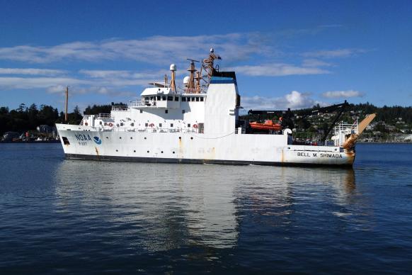 | ||||
Ferdinand R. Hassler 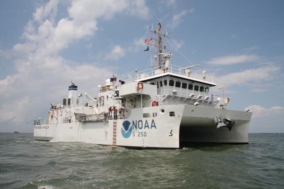 | ||||
Henry B. Bigelow 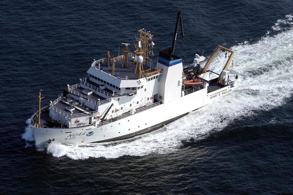 | ||||
Okeanos Explorer 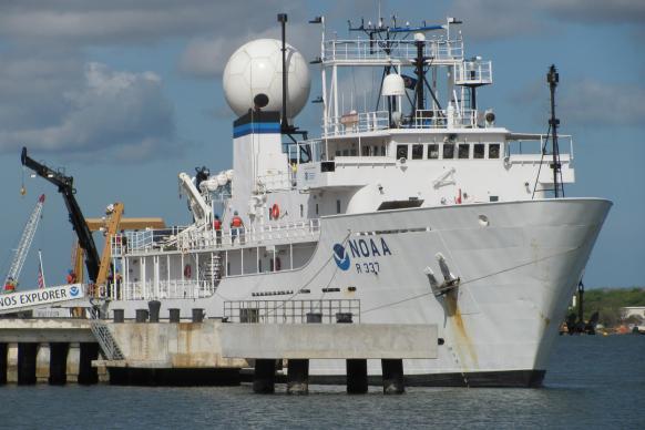 | ||||
Oscar Dyson 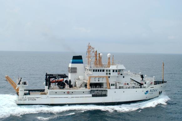 | ||||
Pisces 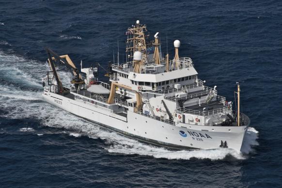 | ||||
Reuben Lasker  | ||||
Thomas Jefferson  | ||||
Fairweather 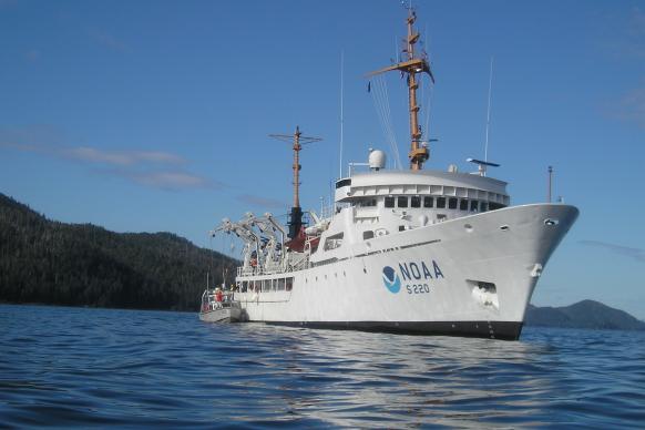 | ||||
Gordon Gunter 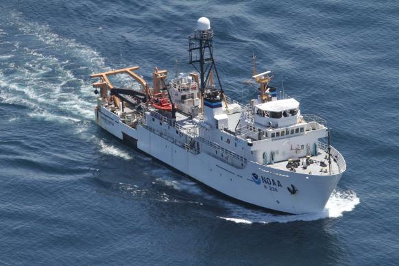 | ||||
Nancy Foster 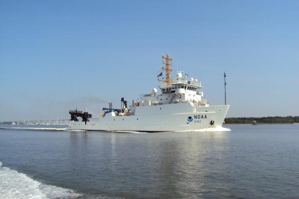 | ||||
Oregon II 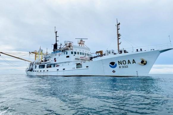 | ||||
Oscar Elton Sette  | ||||
Rainier 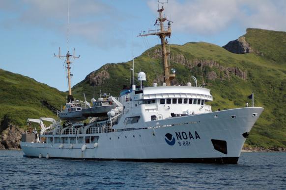 | ||||
Ronald H. Brown 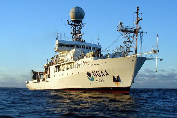 |