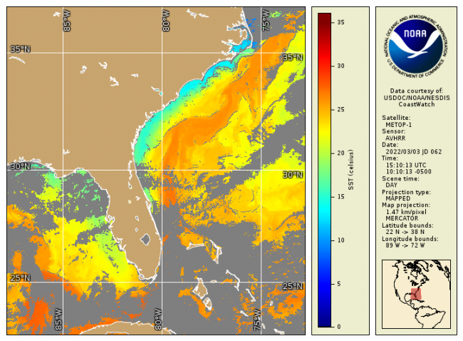
NOAA CoastWatch / OceanWatch / PolarWatch produces Level 2/3 sea surface temperature datasets using AVHRR sensors aboard the Metop 1/2 satellites.
Data Access
Product Overview
Product Details
| Short Names |
AVHRR_L2
AVHRR_L3
|
|---|---|
| Temporal Coverage |
Near real-time + 3 days |
| Product Families |
Sea Surface Temperature
|
| Measurements |
Sea Surface Temperature - Polar-orbiting
|
| Processing Levels |
Level 2
Level 3
|
| Latency Groups |
0 Hours <= 24 Hours (NRT)
24+ hours (Delayed)
|
| Latency Details |
Less than 24 hours |
| Spatial Resolution Groups |
2km+
|
| Spatial Resolution Details |
4km @Nadir; ~30km @swath edge |
| Data Providers |
ESA
EUMETSAT
|
Spatial Coverage
CoastWatch US Regions
| Description |
Also known as the CoastWatch Regional Nodes: OceanWatch Central Pacific, PolarWatch, Great Lakes, East Coast, Atlantic OceanWatch - Caribbean - Gulf of America, WaterWatch (inland rivers), West Coast |
|---|