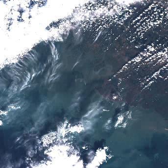
MSI Sentinel-2 high spatial resolution imagery and data from Copernicus are served from CoastWatch for coastal US regions in near real time as the data become available. JPEG and TIF images as well as zipped Level 1C data are available.
Data Access
| Data Tool Links | CoastWatch Granule Selector Tool Choose MSI Sentinel-2 and use the calendar to "apply" dates of interest, then click in the green square(s) of interest. You can build a data cart to generate a download list. |
| Sample Filenames | S2A_20181003_T15RVH_PVI.jpg |
Product Overview
Product Details
290 km swath with 13 spectral channels incorporating four visible and near-infrared bands at 10 m resolution, six red-edge/shortwave-infrared bands at 20 m and three atmospheric correction bands at 60 m